Next-generation high-precision AI evaluation
powered by point cloud data x image AI
Fusing LiDAR point clouds with image recognition AI for more accurate and comprehensive evaluation of structures and equipment.
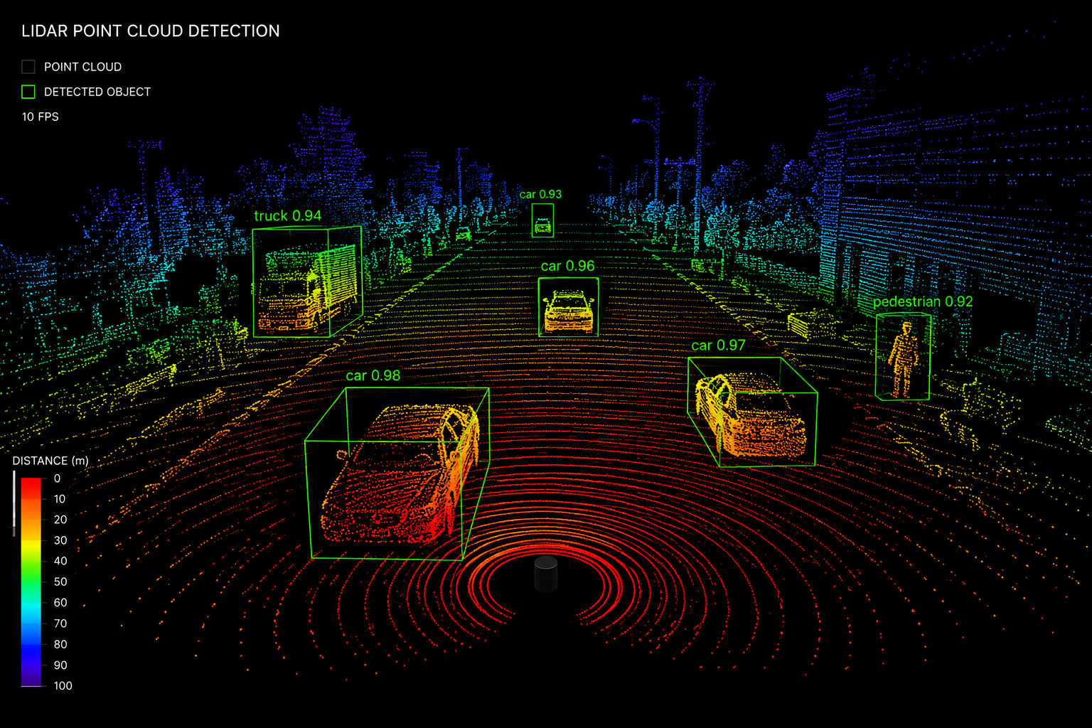
By fusing LiDAR point cloud data with image-recognition AI, we evaluate an object's 3D shape and condition at the same time. Damage, deformation, and dimensions that conventional visual inspection or 2D images miss are detected with high precision and objectivity.
Image AI alone, or point clouds alone, cannot capture everything on site.
More accurate evaluation requires technology that integrates multiple sensor inputs for comprehensive analysis.
Even when damage is detected from photos, separate measurements are needed for accurate size, volume, and distance assessment.
Even when shapes are captured with LiDAR, surface deterioration, material changes, and color abnormalities cannot be assessed.
With visual inspection and 2D images only, results vary by inspector, lacking reproducibility and objectivity.
LiDAR Point Cloud x Image AI = More Precise Evaluation
Mobispace's "LiDAR AI Fusion" solves this.
3D shape, dimensions, distance
Condition assessment, classification, detection
Simultaneously captures dimensions and condition, significantly improving evaluation accuracy over conventional methods
LiDAR and camera simultaneously record 3D shape and appearance of the same scene. Ensures data consistency.
AI automatically integrates dimensional/positional information from point clouds with condition information from images. Achieves precision impossible by hand.
Compatible with 360° LiDAR (mid360) and iPad Pro LiDAR. Analysis and evaluation are completed on-site in real time.
AI automatically calculates size, volume, and distance from point clouds.
Image AI automatically classifies and grades damage, corrosion, and discoloration.
Flexibly accommodates combinations of 360°/flat LiDAR and cameras.
Visualizes progression of deformation and deterioration through periodic scan comparisons.
Generates 3D spatial maps from point clouds and pinpoints damage locations by coordinates.
Integrates point clouds, images, and evaluation results in the cloud for unified management and sharing.
| Conventional Methods | LiDAR AI Fusion |
|---|---|
| Image only: 2D detection, separate dimension measurement required | Detection and dimension measurement completed simultaneously |
| Point cloud only: Shape captured but condition unknown | Integrated evaluation of 3D shape + surface condition |
| Visual + photos: High variability between inspectors | Objective, reproducible evaluation by AI |
| Post-hoc data integration: Enormous time and cost | Simultaneous on-site capture, real-time processing |